Scientists discover lost Continent hidden under the Pacific Ocean
Scientists uncover a massive sunken continent beneath the Pacific, rewriting Earth’s ancient history
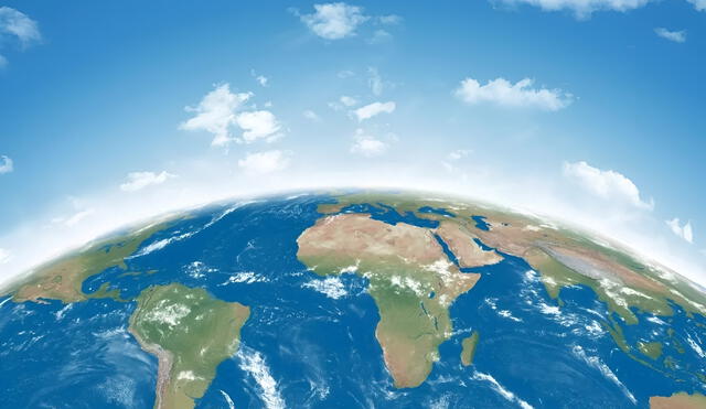
A long-lost continent has been uncovered beneath the Pacific Ocean by a team of geologists, offering a groundbreaking insight into Earth's hidden past. The landmass, now named Eastern Zealandia, broke away from the supercontinent Gondwana around 100 million years ago. The discovery was made through satellite data and rock samples collected in the South Pacific. This finding reshapes our understanding of continental drift. Eastern Zealandia had remained completely submerged until now.
Led by geologists from New Zealand and Australia, the research team identified fragments of continental crust that didn’t match known tectonic plates. The data revealed a submerged continental fragment stretching over a vast area. Published in a respected scientific journal, the study presents compelling evidence of its ancient origins. Geological anomalies in rock structure confirmed it was not part of the ocean floor. The academic community is calling the discovery a “major breakthrough.”

ALSO SEE: 11 people hospitalized after Memorial Day Weekend boat shooting in Little River, South Carolina
Hidden for millions of years, Eastern Zealandia reveals clues about Gondwana and Earth's Tectonic Past
Unlike other lost landmasses, Eastern Zealandia has remained hidden beneath more than 1,000 meters of ocean for millions of years. Only through advancements in geophysical mapping could its presence be confirmed. The rocks contain chemical signatures distinct from surrounding seafloor crust. Mineral orientations suggest they were once part of Gondwana. Isotopic dating helped confirm the continent’s age and connection to ancient landmasses.
Gondwana was one of Earth’s major prehistoric supercontinents, from which South America, Africa, and Oceania eventually split. As Gondwana broke apart, it left behind several microcontinents, including Zealandia. Eastern Zealandia’s trail was lost due to complex tectonic movement. This rediscovery offers valuable information on Earth’s geological evolution. It may also lead to updated models of continental formation.
Eastern Zealandia's discovery sheds light on Earth’s geological past
Scientists estimate Eastern Zealandia spans over one million square kilometers. Though mostly submerged, its boundaries are becoming clearer through digital mapping tools. The discovery could influence marine resource studies and biodiversity research. Mapping submerged continents helps redraw global geological charts. Interest in further exploring its depths is rapidly increasing among researchers.
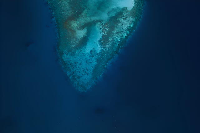
A detailed map shows the submerged lost continent of Eastern Zealandia, hidden under the Pacific Ocean for millions of years. Photo: Unplash
The geologists plan to continue their research to define Eastern Zealandia’s edges, composition, and tectonic history. Future expeditions aim to extract more rock samples and conduct controlled drilling missions. These findings represent a leap forward in understanding Earth’s ancient transformations. Each discovery brings us closer to the planet’s deep-time secrets. Eastern Zealandia is now a central piece in the puzzle of Earth’s dynamic history.


